









DISCOVER WITH TREOVANA
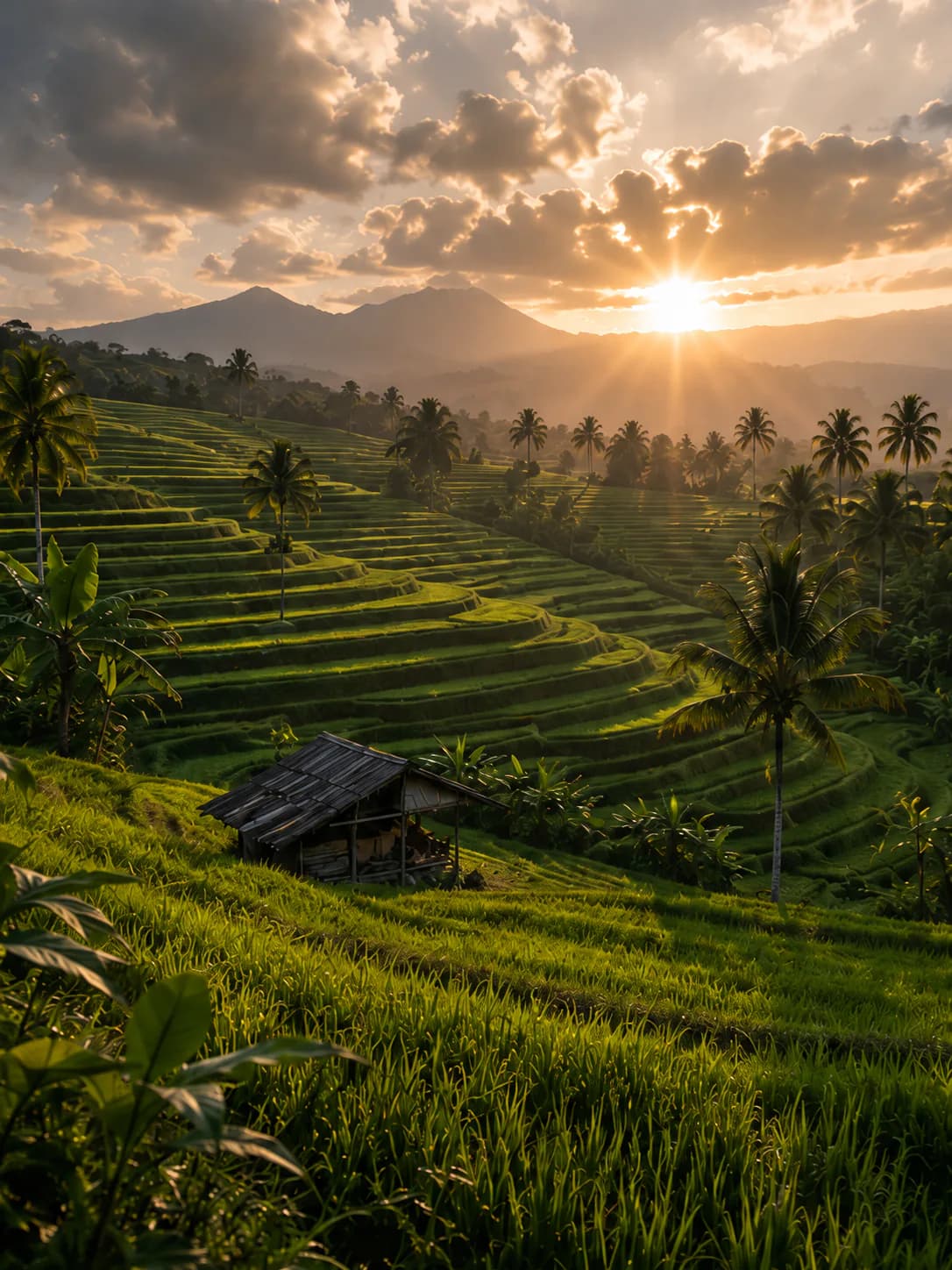
Jatiluwih, a farming landscape on the slopes of Batukaru
Jatiluwih is a highland village in Penebel, Tabanan, located on the slopes of Mount Batukaru at around 700 metres above sea level. Its landscape is shaped by rice fields, farmland, plantations, and forest, with local life still closely connected to agriculture.
Jatiluwih is about more than the form of its terraced rice fields. Behind the agricultural landscape are subak networks, farming roads, village routes, forest areas, temples, and communities whose daily lives remain closely connected to farming.
Jatiluwih is also part of Bali’s cultural landscape recognised as a UNESCO World Heritage Site, with the subak system playing an important role in the agricultural life of the area.
More than terraced rice fields
Jatiluwih is a living agricultural landscape, not simply a place to view the scenery. Village roads, farming paths, irrigation channels, temples, forest, and everyday community activity all contribute to the character of the area.
Practical information
Check the route, duration, meeting point, and things to bring on each activity page. Route conditions and services may vary between activities and Partners.